File:Fosse Way , (again) - Geograph - 1728158.jpg
Jump to navigation
Jump to search

No higher resolution available.
Fosse_Way_,_(again)_-_Geograph_-_1728158.jpg (640 × 427 pixels, file size: 92 KB, MIME type: image/jpeg)
| |||||||||||||||||||||||||
|
Galleries | Fosse Way | ||
File history
Click on a date/time to view the file as it appeared at that time.
| Date/Time | Thumbnail | Dimensions | User | Comment | |
|---|---|---|---|---|---|
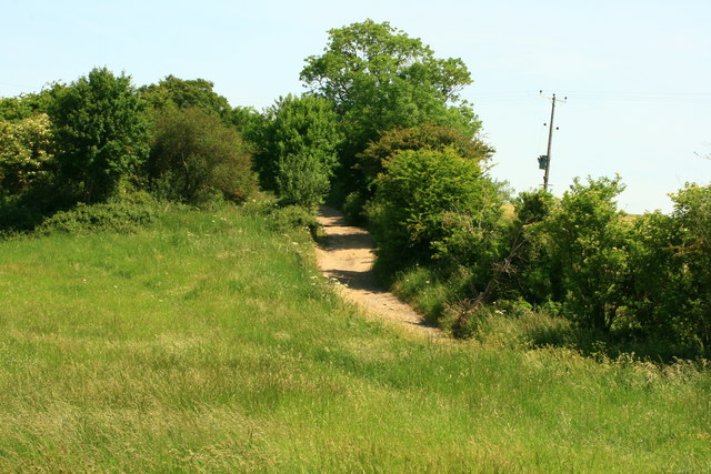
| current | 23:43, 7 March 2010 | | 640 × 427 (92 KB) | Jeni (talk | contribs) | '''Fosse Way , (again)'''<br/>Fosse Way coming down to cross over the River Avon.Just west of Easton Grey,West Wiltshire. |
File usage
There are no pages that use this file.
_-_Geograph_-_1728158.jpg&oldid=155347)