File:Fosse Way west of Malmesbury - Geograph - 294025.jpg
Jump to navigation
Jump to search

No higher resolution available.
Fosse_Way_west_of_Malmesbury_-_Geograph_-_294025.jpg (640 × 480 pixels, file size: 173 KB, MIME type: image/jpeg)
| |||||||||||||||||||||||||
|
Galleries | Fosse Way | ||
File history
Click on a date/time to view the file as it appeared at that time.
| Date/Time | Thumbnail | Dimensions | User | Comment | |
|---|---|---|---|---|---|
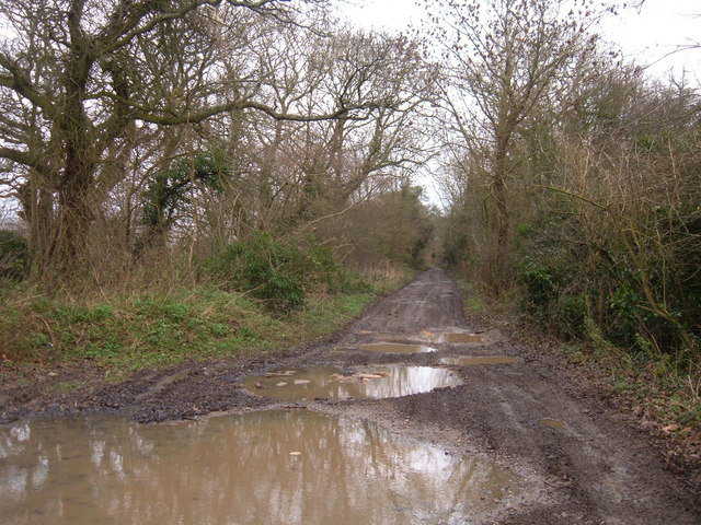
| current | 23:43, 7 March 2010 | | 640 × 480 (173 KB) | Jeni (talk | contribs) | '''Fosse Way west of Malmesbury'''<br/>Looking northeast from where this roman road (now a byway) crosses the B4040. |
File usage
There are no pages that use this file.