File:Four Lane Ends - Geograph - 34419.jpg
Jump to navigation
Jump to search

No higher resolution available.
Four_Lane_Ends_-_Geograph_-_34419.jpg (640 × 480 pixels, file size: 107 KB, MIME type: image/jpeg)
| |||||||||||||||||||||||||
|
Galleries | B6145 | S2 | Four Lane Ends (Bradford) | Traffic Signals | ||
File history
Click on a date/time to view the file as it appeared at that time.
| Date/Time | Thumbnail | Dimensions | User | Comment | |
|---|---|---|---|---|---|
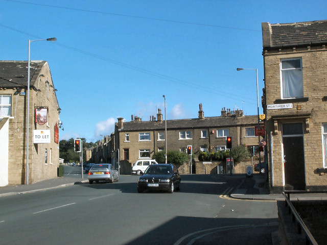
| current | 15:09, 2 April 2010 | | 640 × 480 (107 KB) | Bob@romiley1 (talk | contribs) | '''Four Lane Ends'''<br/>From Cemetery Road. Thornton Road (B6145) goes Left/Right, and Allerton Road is straight ahead. Thankfully, from here you can't see all the empty shops in Thornton Road. |
File usage
The following 4 pages use this file: