File:Four buses, Belfast - Geograph - 1411165.jpg
Jump to navigation
Jump to search

No higher resolution available.
Four_buses,_Belfast_-_Geograph_-_1411165.jpg (640 × 402 pixels, file size: 90 KB, MIME type: image/jpeg)
| |||||||||||||||||||||||||
|
Galleries | A20 (Northern Ireland) | A510 (Northern Ireland) | Belfast | ||
File history
Click on a date/time to view the file as it appeared at that time.
| Date/Time | Thumbnail | Dimensions | User | Comment | |
|---|---|---|---|---|---|
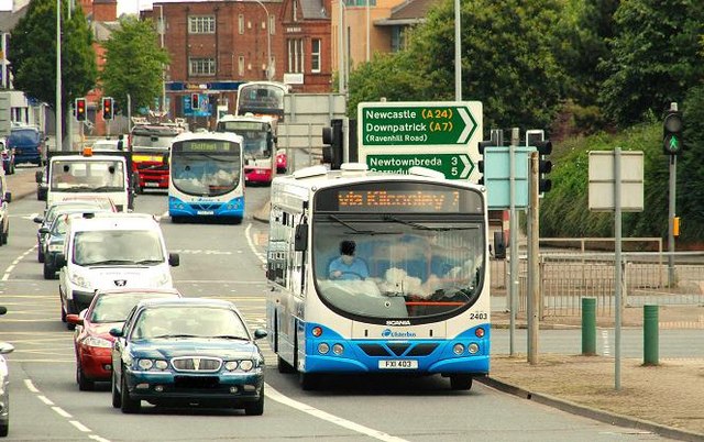
| current | 13:13, 4 May 2010 | | 640 × 402 (90 KB) | Si404 (talk | contribs) | '''Four buses, Belfast'''<br/>Four buses (on four different routes), make their way along the Albertbridge Road <a href="http://www.geograph.org.uk/photo/1410666">J3573 : The Albertbridge Road, Belfast</a>, from Co Down and suburban east Belfast. |
File usage
The following page uses this file: