File:Frimley Interchange early plan.png
Jump to navigation
Jump to search

No higher resolution available.
Frimley_Interchange_early_plan.png (360 × 234 pixels, file size: 16 KB, MIME type: image/png)
| |||||||||||||||||||||||||
|
Galleries | M3 | B3411 | Frimley Interchange | ||
File history
Click on a date/time to view the file as it appeared at that time.
| Date/Time | Thumbnail | Dimensions | User | Comment | |
|---|---|---|---|---|---|
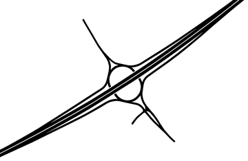
| current | 07:38, 2 June 2014 | | 360 × 234 (16 KB) | Truvelo (talk | contribs) | The original plan for M4 J4 was to have it half a mile further east at the former A321 now B3411 |
File usage
The following 3 pages use this file: