File:Frith Bank - Geograph - 3598692.jpg
Jump to navigation
Jump to search

No higher resolution available.
Frith_Bank_-_Geograph_-_3598692.jpg (640 × 480 pixels, file size: 68 KB, MIME type: image/jpeg)
| |||||||||||||||||||||||||
|
Galleries | C837 (Lincolnshire) | S2 | Pictures from Geograph | Lincolnshire | ||
File history
Click on a date/time to view the file as it appeared at that time.
| Date/Time | Thumbnail | Dimensions | User | Comment | |
|---|---|---|---|---|---|
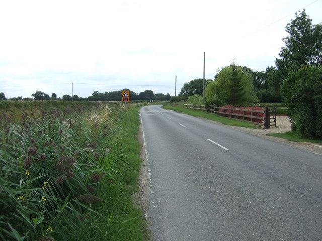
| current | 11:10, 8 June 2020 | | 640 × 480 (68 KB) | C2r (talk | contribs) | '''Frith Bank ''' Heading west towards Anton's Gowt. |
File usage
The following 2 pages use this file: