File:From Burncross to Charltonbrook (C) Roger May - Geograph - 136435.jpg
Jump to navigation
Jump to search

No higher resolution available.
From_Burncross_to_Charltonbrook_(C)_Roger_May_-_Geograph_-_136435.jpg (640 × 480 pixels, file size: 197 KB, MIME type: image/jpeg)
| |||||||||||||||||||||||||
|
Galleries | B6546 | A632 (Rotherham - Charltonbrook) | A629 | B113 (Chapeltown) | ||
File history
Click on a date/time to view the file as it appeared at that time.
| Date/Time | Thumbnail | Dimensions | User | Comment | |
|---|---|---|---|---|---|
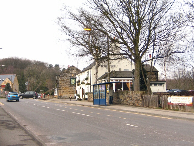
| current | 21:10, 11 March 2014 | | 640 × 480 (197 KB) | Vlad (talk | contribs) | '''From Burncross to Charltonbrook (C) Roger May '''<br/>Crossroads on the A629 by the Acorn Inn. |
File usage
The following 5 pages use this file:
_Roger_May_-_Geograph_-_136435.jpg&oldid=486600)