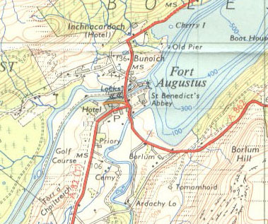
File:Ft-aug-1959.jpg

From Roader's Digest: The SABRE Wiki
Jump to navigation Jump to search

Ft-aug-1959.jpg(379 × 317 pixels, file size: 85 KB, MIME type: image/jpeg)

Y topleft.gifY topright.gif
Description:The former B848 in Fort Augustus, although unmarked as such this is the only evidence so far for the precise route. This page contains scans from a map that is believed may be out of copyright according to UK Crown Copyright, UK Copyright Law for other maps published in the United Kingdom, or Irish Government Copyright, is not being used to generate profit in this context, and presents information that cannot be exhibited otherwise.
If the copyright holder considers this is an infringement of their rights, please contact the site management team to discuss further steps.
Location:57.1449945, -4.6809483
Road:A82/Fort William - Fort Augustus, B848 (Fort Augustus) , A862 (Inverness - Fort Augustus)
Date:
Photographer:Rileyrob
Source:Ordnance Survey 7th Series sheet 36

Map

Y btmleft.gifY btmright.gif

Galleries  | A82/Fort William - Fort Augustus | B848 (Fort Augustus) | A862 (Inverness - Fort Augustus) | OS One Inch


File history

Click on a date/time to view the file as it appeared at that time.

Date/TimeThumbnailDimensionsUserComment
current21:27, 19 May 2011Thumbnail for version as of 21:27, 19 May 2011379 × 317 (85 KB)Rileyrob (talk | contribs)a

The following file is a duplicate of this file (more details):

Metadata

SABRE - The Society for All British and Irish Road Enthusiasts
Discuss - Digest - Discover - Help