File:Furnace Lane (B2169)- westward - Geograph - 1758734.jpg
Jump to navigation
Jump to search

No higher resolution available.
Furnace_Lane_(B2169)-_westward_-_Geograph_-_1758734.jpg (640 × 430 pixels, file size: 135 KB, MIME type: image/jpeg)
| |||||||||||||||||||||||||
|
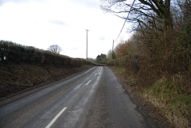
Galleries | B2169 | High Weald Country Tour | ||
File history
Click on a date/time to view the file as it appeared at that time.
| Date/Time | Thumbnail | Dimensions | User | Comment | |
|---|---|---|---|---|---|
| current | 12:14, 21 March 2010 | | 640 × 430 (135 KB) | Jeni (talk | contribs) | '''Furnace Lane (B2169)- westward'''<br/>The Lamberhurst to Tunbridge Wells road via Bayham Abbey. |
File usage
The following page uses this file:
-_westward_-_Geograph_-_1758734.jpg&oldid=459040)