File:Galston Rd End - Coppermine - 13843.jpg
Jump to navigation
Jump to search

No higher resolution available.
Galston_Rd_End_-_Coppermine_-_13843.jpg (682 × 512 pixels, file size: 42 KB, MIME type: image/jpeg)
| |||||||||||||||||||||||||
File history
Click on a date/time to view the file as it appeared at that time.
| Date/Time | Thumbnail | Dimensions | User | Comment | |
|---|---|---|---|---|---|
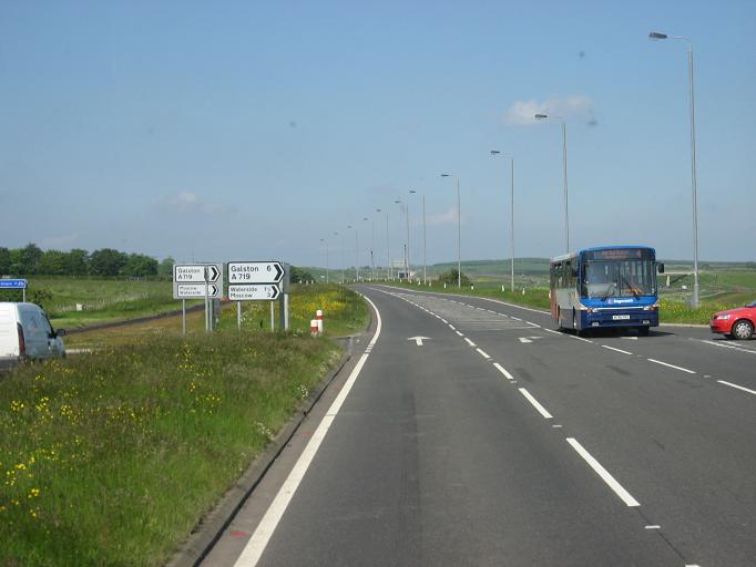
| current | 20:26, 28 January 2010 | | 682 × 512 (42 KB) | Rileyrob (talk | contribs) | {{Information |description = '''Galston Rd End northbound''' This was a former D2 section, with the cycle lane now occupying the old northbound. It's curious that there's two sets of right-turn signs. At first I thought the left hand ones were the old |
File usage
The following 2 pages use this file: