File:Gantry sign, Belfast - Geograph - 1746974.jpg
Jump to navigation
Jump to search

No higher resolution available.
Gantry_sign,_Belfast_-_Geograph_-_1746974.jpg (640 × 339 pixels, file size: 73 KB, MIME type: image/jpeg)
| |||||||||||||||||||||||||
|
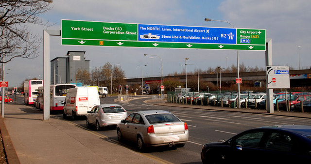
Galleries | A2 (Northern Ireland) | Belfast | Gantry Sign | York Street Interchange | ||
File history
Click on a date/time to view the file as it appeared at that time.
| Date/Time | Thumbnail | Dimensions | User | Comment | |
|---|---|---|---|---|---|
| current | 14:55, 14 March 2010 | | 640 × 339 (73 KB) | Jeni (talk | contribs) | '''Gantry sign, Belfast'''<br/>Gantry sign in York Street, approaching Gt George�s Street <a href="http://www.geograph.org.uk/photo/1415904">J3375 : Great George's Street, Belfast</a> and the Westlink <a href="http://www.geograph.org.uk/photo/582043">J347 |
File usage
There are no pages that use this file.