File:Gardiner Street Lower, Dublin - Geograph - 5167369.jpg
Jump to navigation
Jump to search

No higher resolution available.
Gardiner_Street_Lower,_Dublin_-_Geograph_-_5167369.jpg (640 × 360 pixels, file size: 74 KB, MIME type: image/jpeg)
| |||||||||||||||||||||||||
|
Galleries | R802 | Dublin Inner Orbital Route | Dublin | ||
File history
Click on a date/time to view the file as it appeared at that time.
| Date/Time | Thumbnail | Dimensions | User | Comment | |
|---|---|---|---|---|---|
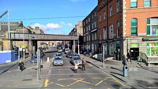
| current | 10:05, 10 May 2017 | | 640 × 360 (74 KB) | Viator (talk | contribs) | Gardiner Street Lower: looking north from junction 39 of the Dublin Inner Orbital Route |
File usage
There are no pages that use this file.