File:Garristown, Co. Dublin - Geograph - 846409.jpg
Jump to navigation
Jump to search

No higher resolution available.
Garristown,_Co._Dublin_-_Geograph_-_846409.jpg (640 × 480 pixels, file size: 71 KB, MIME type: image/jpeg)
| |||||||||||||||||||||||||
|
Galleries | R130 | ||
File history
Click on a date/time to view the file as it appeared at that time.
| Date/Time | Thumbnail | Dimensions | User | Comment | |
|---|---|---|---|---|---|
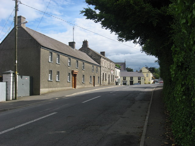
| current | 10:10, 7 May 2016 | | 640 × 480 (71 KB) | C2r (talk | contribs) | '''Garristown, Co. Dublin''' Period houses on the main street. |
File usage
The following 2 pages use this file: