File:Gaston Bridge Road - Geograph - 853802.jpg
Jump to navigation
Jump to search

No higher resolution available.
Gaston_Bridge_Road_-_Geograph_-_853802.jpg (640 × 480 pixels, file size: 84 KB, MIME type: image/jpeg)
| |||||||||||||||||||||||||
|
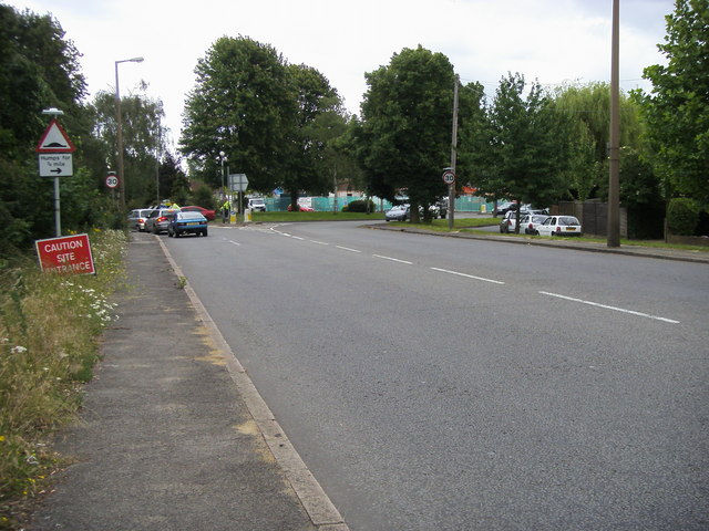
Galleries | A244 | Speed limit sign/30 mph | Warning Sign/Road Humps | ||
File history
Click on a date/time to view the file as it appeared at that time.
| Date/Time | Thumbnail | Dimensions | User | Comment | |
|---|---|---|---|---|---|
| current | 18:58, 15 September 2009 | | 640 × 480 (84 KB) | Bob@romiley1 (talk | contribs) | {{Information |description = Gaston Bridge Road |day = 18 |month = 06 |year = 2008 |photographer = © Copyright [http://www.geograph.org.uk/profile/14760 Shaun Ferguson] and licensed for reuse under [http://creativecommons.org/lic |
File usage
The following page uses this file: