File:Gate posts at the bottom of Ayot St. Peter's Road - Geograph - 3434062.jpg
Jump to navigation
Jump to search

No higher resolution available.
Gate_posts_at_the_bottom_of_Ayot_St._Peter's_Road_-_Geograph_-_3434062.jpg (640 × 480 pixels, file size: 85 KB, MIME type: image/jpeg)
| |||||||||||||||||||||||||
|
Galleries | C47 (Hertfordshire) | Hertfordshire | ||
File history
Click on a date/time to view the file as it appeared at that time.
| Date/Time | Thumbnail | Dimensions | User | Comment | |
|---|---|---|---|---|---|
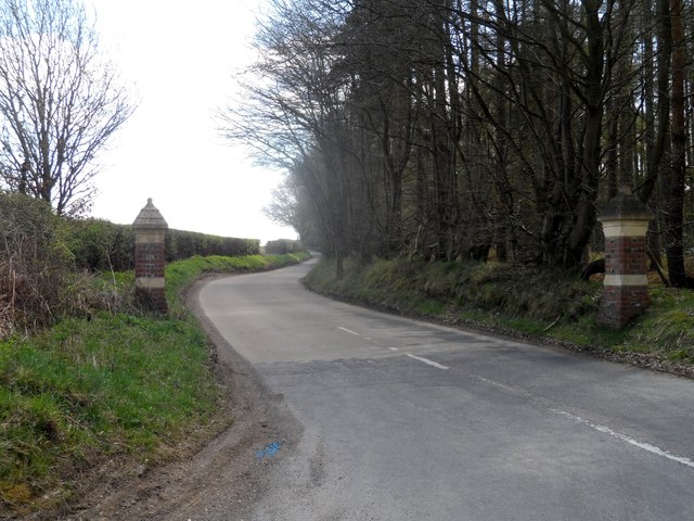
| current | 15:02, 7 March 2017 | | 640 × 480 (85 KB) | C2r (talk | contribs) | '''Gate posts at the bottom of Ayot St. Peter's Road''' There is a matching pair at the top end of the lane |
File usage
The following 2 pages use this file: