File:Gateway in George Green - Geograph - 25652.jpg
Jump to navigation
Jump to search

No higher resolution available.
Gateway_in_George_Green_-_Geograph_-_25652.jpg (640 × 480 pixels, file size: 97 KB, MIME type: image/jpeg)
| |||||||||||||||||||||||||
|
Galleries | MC53 (Buckinghamshire) | MC59 (Buckinghamshire) | ||
File history
Click on a date/time to view the file as it appeared at that time.
| Date/Time | Thumbnail | Dimensions | User | Comment | |
|---|---|---|---|---|---|
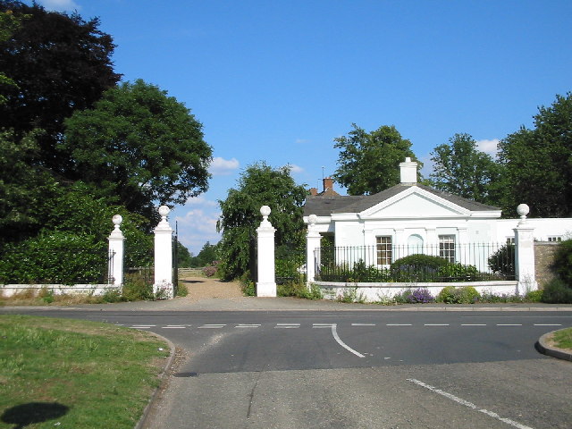
| current | 14:27, 11 March 2017 | | 640 × 480 (97 KB) | Si404 (talk | contribs) | '''Gateway in George Green''' This gateway and house are at the junction of George Green Road, Coronation Road and Middle Green, in the village of George Green to the north of Slough. |
File usage
The following 3 pages use this file: