File:Geo B2122 ES.jpg
Jump to navigation
Jump to search

Size of this preview: 449 × 600 pixels. Other resolution: 479 × 640 pixels.
Original file (479 × 640 pixels, file size: 157 KB, MIME type: image/jpeg)
| |||||||||||||||||||||||||
|
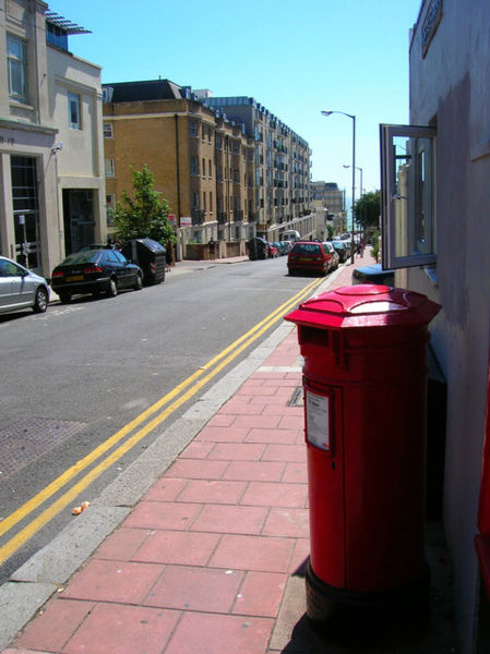
Galleries | B2122 (East Sussex) | ||
The copyright on this image – which is licensed for reuse under the Creative Commons Attribution-ShareAlike 2.0 licence and was taken from the Geograph British Isles project collection – is owned by Simon Carey. See this image's page on the Geograph website for the photographer's contact details.
File history
Click on a date/time to view the file as it appeared at that time.
| Date/Time | Thumbnail | Dimensions | User | Comment | |
|---|---|---|---|---|---|
| current | 19:22, 2 August 2009 | | 479 × 640 (157 KB) | Viator (talk | contribs) | {{Information |description = The East Sussex B2122. Montpelier Road in Brighton. |lat = 50.824072 |lon = -0.153546 |road = B2122 |day = 30 |month = July |year = 2006 |photographer |
File usage
The following page uses this file: