File:Geograph-1061705-by-Simon-Carey.jpg
Jump to navigation
Jump to search

No higher resolution available.
Geograph-1061705-by-Simon-Carey.jpg (640 × 479 pixels, file size: 80 KB, MIME type: image/jpeg)
| |||||||||||||||||||||||||
|
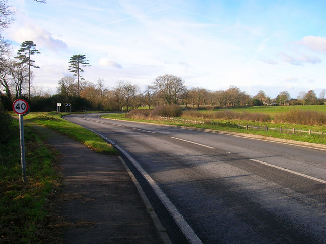
Galleries | B2116 | B2136 (Partridge Green - Shermanbury) | Speed limit sign/40 mph | ||
File history
Click on a date/time to view the file as it appeared at that time.
| Date/Time | Thumbnail | Dimensions | User | Comment | |
|---|---|---|---|---|---|
| current | 19:24, 1 September 2015 | | 640 × 479 (80 KB) | Vlad (talk | contribs) | '''Bend in the Road'''<br/>Most likely to have been caused by the meeting of parish boundaries at the tip of the bend. Here Partridge Green Road, Shermanbury becomes Shermanbury Road, Partridge Green at the entrance to Shermanbury Grange, though the la... |
File usage
The following 3 pages use this file: