File:Geograph-1084025-by-Chris-Whippet.jpg
Jump to navigation
Jump to search

No higher resolution available.
Geograph-1084025-by-Chris-Whippet.jpg (640 × 480 pixels, file size: 51 KB, MIME type: image/jpeg)
| |||||||||||||||||||||||||
|
Galleries | B2156 (Medway) | unclassified | ||
File history
Click on a date/time to view the file as it appeared at that time.
| Date/Time | Thumbnail | Dimensions | User | Comment | |
|---|---|---|---|---|---|
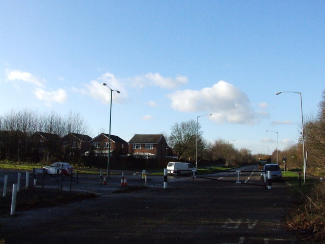
| current | 15:56, 6 September 2015 | | 640 × 480 (51 KB) | Vlad (talk | contribs) | '''The end of North Dane Way'''<br/>Laid out in the early 1970s, North Dane Way was eventually to have stretched from Capstone Road to Sharsted Way and Walderslade Woods Road, forming the Medway Towns southern ring road. Since the formation of Medway D... |
File usage
The following 2 pages use this file: