File:Geograph-1148429-by-Simon-Carey.jpg
Jump to navigation
Jump to search

Size of this preview: 442 × 599 pixels. Other resolution: 472 × 640 pixels.
Original file (472 × 640 pixels, file size: 69 KB, MIME type: image/jpeg)
| |||||||||||||||||||||||||
|
Galleries | B2173 (Shoreham) | unclassified | ||
File history
Click on a date/time to view the file as it appeared at that time.
| Date/Time | Thumbnail | Dimensions | User | Comment | |
|---|---|---|---|---|---|
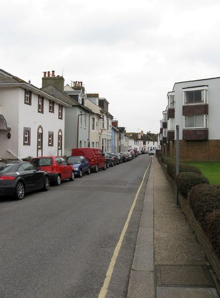
| current | 20:46, 12 September 2015 | | 472 × 640 (69 KB) | Vlad (talk | contribs) | '''New Road'''<br/>Built when the new Brighton-Shoreham coast road was constructed in the 1780s, its narrowness and awkward turning at the junction with East Street meant a new road to the south was built during the 19th century which is today's A259. |
File usage
The following 2 pages use this file: