File:Geograph-1228378-by-David-Rogers.jpg
Jump to navigation
Jump to search

No higher resolution available.
Geograph-1228378-by-David-Rogers.jpg (640 × 453 pixels, file size: 70 KB, MIME type: image/jpeg)
| |||||||||||||||||||||||||
|
Galleries | B1415 | ||
File history
Click on a date/time to view the file as it appeared at that time.
| Date/Time | Thumbnail | Dimensions | User | Comment | |
|---|---|---|---|---|---|
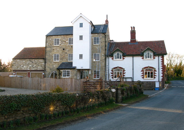
| current | 20:25, 14 July 2015 | | 640 × 453 (70 KB) | Vlad (talk | contribs) | '''Allerston Mill'''<br/>Former flour mill on the village Main Street. |
File usage
The following 2 pages use this file: