File:Geograph-1283515-by-Tom-Jolliffe.jpg

From Roader's Digest: The SABRE Wiki
Jump to navigation Jump to search

Geograph-1283515-by-Tom-Jolliffe.jpg(640 × 480 pixels, file size: 112 KB, MIME type: image/jpeg)

Y topleft.gifY topright.gif
Description:
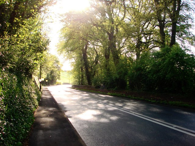
Strawberry bends, near Brixham
On the slightly downhill approach to Brixham, the road curves right and then left. Here the picture shows the approach to the right hand bend. To locals, this is known as 'Strawberry Bends', as strawberries were once sold at this point in the summer. To my knowledge this has not occurred during the last 30 years.

This has also been an accident blackspot, usually caused by speeding. The road was narrowed some time ago to try to make it safer.
Location:50.390012, -3.540051
Road:A3022, B3204 (Brixham)
Date:03 05 2009
Photographer:Tom Jolliffe and licensed for reuse under this Creative Commons Licence
Source:Geograph

Map

Y btmleft.gifY btmright.gif

Galleries  | A3022 | B3204 (Brixham)

File history

Click on a date/time to view the file as it appeared at that time.

Date/TimeThumbnailDimensionsUserComment
current20:54, 15 December 2015Thumbnail for version as of 20:54, 15 December 2015640 × 480 (112 KB)Vlad (talk | contribs)'''Strawberry bends, near Brixham'''<br/>On the slightly downhill approach to Brixham, the road curves right and then left. Here the picture shows the approach to the right hand bend. To locals, this is known as "Strawberry Bends", as strawberries were...

The following 3 pages use this file:

SABRE - The Society for All British and Irish Road Enthusiasts
Discuss - Digest - Discover - Help