File:Geograph-1375202-by-jeff-collins.jpg
Jump to navigation
Jump to search

No higher resolution available.
Geograph-1375202-by-jeff-collins.jpg (640 × 428 pixels, file size: 127 KB, MIME type: image/jpeg)
| |||||||||||||||||||||||||
|
Galleries | B3211 | unclassified | ||
File history
Click on a date/time to view the file as it appeared at that time.
| Date/Time | Thumbnail | Dimensions | User | Comment | |
|---|---|---|---|---|---|
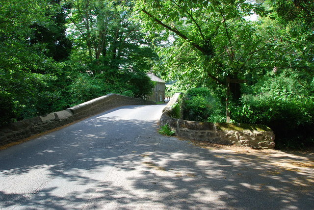
| current | 20:22, 18 December 2015 | | 640 × 428 (127 KB) | Vlad (talk | contribs) | '''Lower Keaton Bridge''' |
File usage
The following 2 pages use this file: