File:Geograph-1574877-by-Derek-Harper.jpg
Jump to navigation
Jump to search

No higher resolution available.
Geograph-1574877-by-Derek-Harper.jpg (640 × 448 pixels, file size: 83 KB, MIME type: image/jpeg)
| |||||||||||||||||||||||||
|
Galleries | A378 (Exeter) | B3182 (Countess Wear - Sandy Park) | unclassified | ||
File history
Click on a date/time to view the file as it appeared at that time.
| Date/Time | Thumbnail | Dimensions | User | Comment | |
|---|---|---|---|---|---|
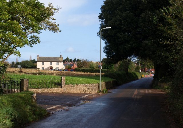
| current | 20:52, 9 December 2015 | | 640 × 448 (83 KB) | Vlad (talk | contribs) | '''Old Rydon Lane'''<br/>On the left is the drive up to [http://www.geograph.org.uk/photo/1574657 SX9590 : St Bridget Nursery and Garden Centre, Exeter]. Across the field are Wynard's Cottages. Along the lane are [http://www.geograph.org.uk/photo/15745... |
File usage
The following 3 pages use this file: