File:Geograph-2187207-by-Simon-Carey.jpg
Jump to navigation
Jump to search

No higher resolution available.
Geograph-2187207-by-Simon-Carey.jpg (640 × 480 pixels, file size: 81 KB, MIME type: image/jpeg)
| |||||||||||||||||||||||||
|
Galleries | B2194 | B2192 (Portslade) | ||
File history
Click on a date/time to view the file as it appeared at that time.
| Date/Time | Thumbnail | Dimensions | User | Comment | |
|---|---|---|---|---|---|
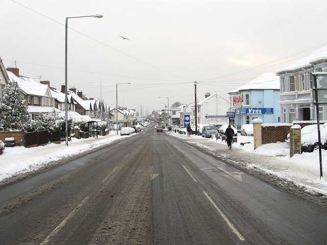
| current | 19:21, 29 September 2015 | | 640 × 480 (81 KB) | Vlad (talk | contribs) | '''Boundary Road/Carlton Terrace'''<br/>The houses on the left are on Boundary Road, those on the right are on Carlton Terrace. This is the northern end of the B2194, see [http://www.geograph.org.uk/photo/2184349 TQ2604 : Station Road/Boundary Road] fo... |
File usage
The following 3 pages use this file: