File:Geograph-2236002-by-E-Gammie.jpg
Jump to navigation
Jump to search

No higher resolution available.
Geograph-2236002-by-E-Gammie.jpg (640 × 487 pixels, file size: 93 KB, MIME type: image/jpeg)
| |||||||||||||||||||||||||
|
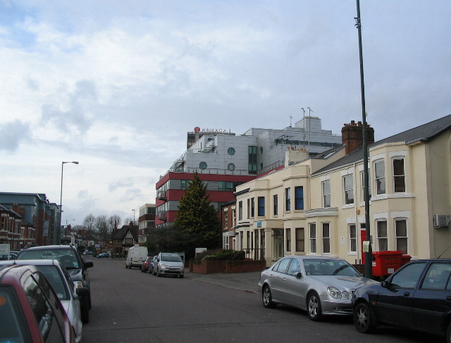
Galleries | B4454 (Coventry) | ||
File history
Click on a date/time to view the file as it appeared at that time.
| Date/Time | Thumbnail | Dimensions | User | Comment | |
|---|---|---|---|---|---|
| current | 19:26, 18 April 2016 | | 640 × 487 (93 KB) | Vlad (talk | contribs) | '''Queen's Road'''<br/>A bizarre mixture of building styles and dates. Mainly offices and student residences, with the eaves of the former Hen and Chickens (now Aardvark) public house visible beyond the white van. |
File usage
The following 2 pages use this file: