File:Geograph-2507956-by-Rob-Purvis.jpg
Jump to navigation
Jump to search

No higher resolution available.
Geograph-2507956-by-Rob-Purvis.jpg (640 × 480 pixels, file size: 53 KB, MIME type: image/jpeg)
| |||||||||||||||||||||||||
|
Galleries | B3052 | Marlborough | ||
File history
Click on a date/time to view the file as it appeared at that time.
| Date/Time | Thumbnail | Dimensions | User | Comment | |
|---|---|---|---|---|---|
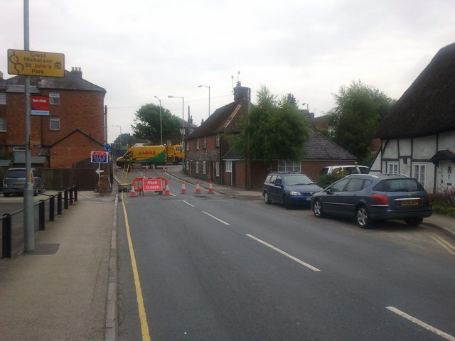
| current | 20:00, 2 November 2015 | | 640 × 480 (53 KB) | Vlad (talk | contribs) | '''Road closed on George Lane, approaching the London and Salisbury roads''' |
File usage
The following 4 pages use this file: