File:Geograph-2665538-by-Robin-Webster.jpg

From Roader's Digest: The SABRE Wiki
Jump to navigation Jump to search

Geograph-2665538-by-Robin-Webster.jpg(640 × 428 pixels, file size: 88 KB, MIME type: image/jpeg)

Y topleft.gifY topright.gif
Description:
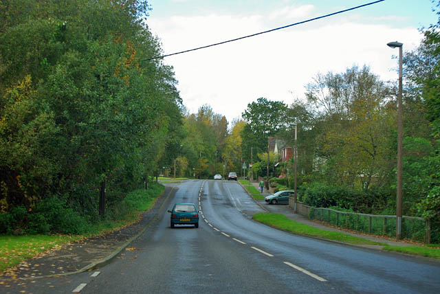
A286, Midhurst
Here called New Road, and built in late Victorian times, although its redesignation as the route of the A286 into Midhurst was much later.
Location:50.981431, -0.745339
Road:A286, B2226
Date:25 10 2011
Photographer:Robin Webster and licensed for reuse under this Creative Commons Licence
Source:Geograph

Map

Y btmleft.gifY btmright.gif

Galleries  | A286 | B2226 | Midhurst

File history

Click on a date/time to view the file as it appeared at that time.

Date/TimeThumbnailDimensionsUserComment
current20:11, 7 October 2015Thumbnail for version as of 20:11, 7 October 2015640 × 428 (88 KB)Vlad (talk | contribs)'''A286, Midhurst'''<br/>Here called New Road, and built in late Victorian times, although its redesignation as the route of the A286 into Midhurst was much later.

Metadata

SABRE - The Society for All British and Irish Road Enthusiasts
Discuss - Digest - Discover - Help