File:Geograph-2674285-by-Scriniary.jpg
Jump to navigation
Jump to search

No higher resolution available.
Geograph-2674285-by-Scriniary.jpg (640 × 391 pixels, file size: 48 KB, MIME type: image/jpeg)
| |||||||||||||||||||||||||
|
Galleries | B4034 | V7 (Milton Keynes) | ||
File history
Click on a date/time to view the file as it appeared at that time.
| Date/Time | Thumbnail | Dimensions | User | Comment | |
|---|---|---|---|---|---|
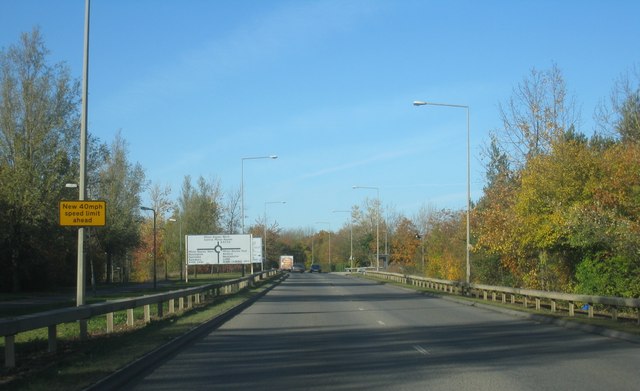
| current | 20:25, 10 February 2016 | | 640 × 391 (48 KB) | Vlad (talk | contribs) | '''Saxon Street'''<br/>Approach to junction with Groveway. |
File usage
The following 4 pages use this file: