File:Geograph-3243167-by-Dave-Spicer.jpg
Jump to navigation
Jump to search

No higher resolution available.
Geograph-3243167-by-Dave-Spicer.jpg (640 × 480 pixels, file size: 56 KB, MIME type: image/jpeg)
| |||||||||||||||||||||||||
|
Galleries | B2194 | B2125 (Portslade) | ||
File history
Click on a date/time to view the file as it appeared at that time.
| Date/Time | Thumbnail | Dimensions | User | Comment | |
|---|---|---|---|---|---|
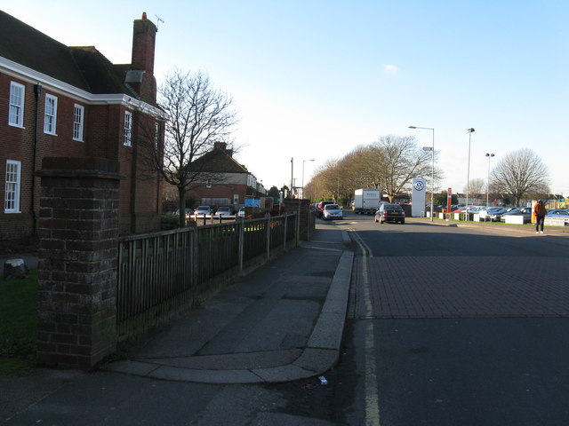
| current | 16:01, 30 August 2015 | | 640 × 480 (56 KB) | Vlad (talk | contribs) | '''West along Victoria Road Portslade'''<br/>On the left is Portslade Town Hall, built in 1923 by the Runuk Company for its employees as a recreation facility until being brought by the Portslade UDC in the early sixties. |
File usage
The following 3 pages use this file: