File:Geograph-3639580-by-Stephen-Rogerson.jpg
Jump to navigation
Jump to search

No higher resolution available.
Geograph-3639580-by-Stephen-Rogerson.jpg (640 × 480 pixels, file size: 71 KB, MIME type: image/jpeg)
| |||||||||||||||||||||||||
|
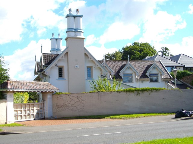
Galleries | B4178 | ||
File history
Click on a date/time to view the file as it appeared at that time.
| Date/Time | Thumbnail | Dimensions | User | Comment | |
|---|---|---|---|---|---|
| current | 20:20, 9 March 2016 | | 640 × 480 (71 KB) | Vlad (talk | contribs) | '''Summerhill Lodge''' |
File usage
The following 2 pages use this file: