File:Geograph-3936076-by-Marathon.jpg
Jump to navigation
Jump to search

No higher resolution available.
Geograph-3936076-by-Marathon.jpg (640 × 480 pixels, file size: 154 KB, MIME type: image/jpeg)
| |||||||||||||||||||||||||
|
Galleries | B2219 | ||
File history
Click on a date/time to view the file as it appeared at that time.
| Date/Time | Thumbnail | Dimensions | User | Comment | |
|---|---|---|---|---|---|
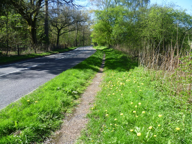
| current | 19:31, 6 October 2015 | | 640 × 480 (154 KB) | Vlad (talk | contribs) | '''Holly Lane'''<br/>Holly Lane (B2219) runs between Chipstead and Banstead and is accordingly busy. Fortunately for the pedestrian there is a path alongside the road for most of the way. Here, Park Downs rise to the right of the road while Banstead Wo... |
File usage
The following 2 pages use this file: