File:Geograph-4017289-by-Jaggery.jpg
Jump to navigation
Jump to search

No higher resolution available.
Geograph-4017289-by-Jaggery.jpg (640 × 470 pixels, file size: 79 KB, MIME type: image/jpeg)
| |||||||||||||||||||||||||
File history
Click on a date/time to view the file as it appeared at that time.
| Date/Time | Thumbnail | Dimensions | User | Comment | |
|---|---|---|---|---|---|
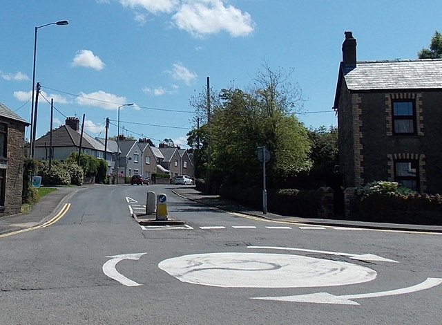
| current | 19:18, 14 March 2016 | | 640 × 470 (79 KB) | Vlad (talk | contribs) | '''Western end of Heol Miskin, Pontyclun'''<br/>The B4264 Heol Miskin viewed from the A4222 Llantrisant Road across a mini-roundabout. |
File usage
The following 3 pages use this file: