File:Geograph-4041680-by-Bikeboy.jpg
Jump to navigation
Jump to search

No higher resolution available.
Geograph-4041680-by-Bikeboy.jpg (640 × 480 pixels, file size: 73 KB, MIME type: image/jpeg)
| |||||||||||||||||||||||||
|
Galleries | B1379 | unclassified | ||
File history
Click on a date/time to view the file as it appeared at that time.
| Date/Time | Thumbnail | Dimensions | User | Comment | |
|---|---|---|---|---|---|
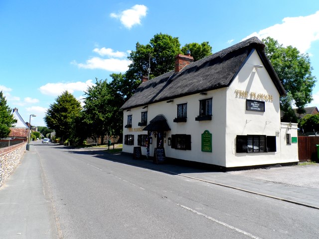
| current | 19:37, 5 July 2015 | | 640 × 480 (73 KB) | Vlad (talk | contribs) | '''The Plough pub, St Peter's Street, Duxford'''<br/>Built in the early C18. See [http://www.britishlistedbuildings.co.uk/en-52911-the-plough-inn-duxford-cambridgeshire Link] |
File usage
The following 2 pages use this file: