File:Geograph-4231076-by-David-Howard.jpg
Jump to navigation
Jump to search

No higher resolution available.
Geograph-4231076-by-David-Howard.jpg (640 × 480 pixels, file size: 45 KB, MIME type: image/jpeg)
| |||||||||||||||||||||||||
|
Galleries | B3378 | unclassified | ||
File history
Click on a date/time to view the file as it appeared at that time.
| Date/Time | Thumbnail | Dimensions | User | Comment | |
|---|---|---|---|---|---|
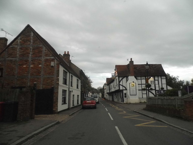
| current | 20:35, 23 January 2016 | | 640 × 480 (45 KB) | Vlad (talk | contribs) | '''Colnbrook High Street'''<br/>Traditional old buildings which are actually the age they look rather than more recent reproductions. |
File usage
The following 2 pages use this file: