File:Geograph-4646318-by-Alan-Hunt.jpg
Jump to navigation
Jump to search

No higher resolution available.
Geograph-4646318-by-Alan-Hunt.jpg (640 × 427 pixels, file size: 97 KB, MIME type: image/jpeg)
| |||||||||||||||||||||||||
|
Galleries | B3366 | ||
File history
Click on a date/time to view the file as it appeared at that time.
| Date/Time | Thumbnail | Dimensions | User | Comment | |
|---|---|---|---|---|---|
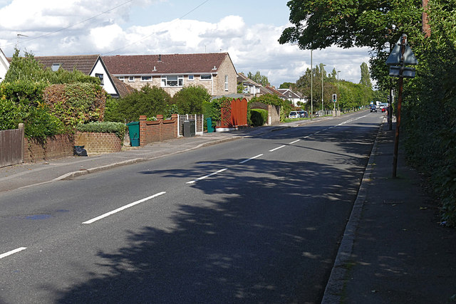
| current | 20:23, 21 January 2016 | | 640 × 427 (97 KB) | Vlad (talk | contribs) | '''Green Lane, Shepperton'''<br/>The road from Shepperton High Street towards the Gaston Bridge Road. |
File usage
The following 2 pages use this file: