File:Geograph-4656599-by-Richard-Dorrell.jpg
Jump to navigation
Jump to search

No higher resolution available.
Geograph-4656599-by-Richard-Dorrell.jpg (640 × 429 pixels, file size: 110 KB, MIME type: image/jpeg)
| |||||||||||||||||||||||||
|
Galleries | B3036 | ||
File history
Click on a date/time to view the file as it appeared at that time.
| Date/Time | Thumbnail | Dimensions | User | Comment | |
|---|---|---|---|---|---|
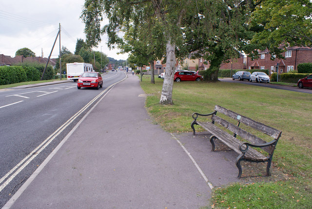
| current | 20:45, 29 October 2015 | | 640 × 429 (110 KB) | Vlad (talk | contribs) | '''Commemorative bench, Hedge End'''<br/>Located alongside the B3036, Lower Northam Road in Hedge End, a plaque on the bench commemorates the freeing of the Hedge End to Southampton toll road in 1929.<br/>Detail: [http://www.geograph.org.uk/photo/46565... |
File usage
The following 2 pages use this file: