File:Glastonbury-1946.jpg
Jump to navigation
Jump to search
Size of this preview: 636 × 599 pixels.
Original file (800 × 754 pixels, file size: 255 KB, MIME type: image/jpeg)
| |||||||||||||||||||||||||
|
Galleries | A39 | A361 | B3151 | Glastonbury | OS One Inch | ||
File history
Click on a date/time to view the file as it appeared at that time.
| Date/Time | Thumbnail | Dimensions | User | Comment | |
|---|---|---|---|---|---|
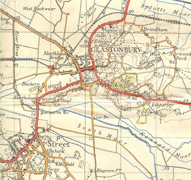
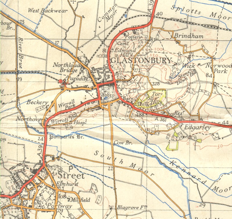
| current | 19:02, 27 November 2009 | | 800 × 754 (255 KB) | Rileyrob (talk | contribs) | {{Information |description = Glastonbury in 1946, showing the bypass as a railway line still! Also showing Street before its relief road was built. |day = |month = |year = 1946 |photographer = |source = OS NPE Sheet 165 | |
File usage
The following page uses this file: