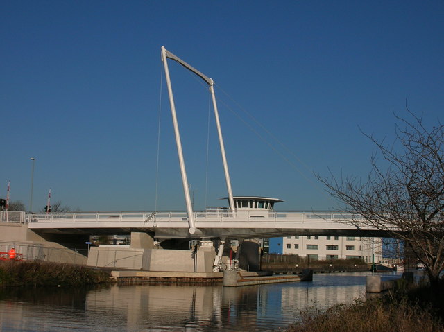
File:Gloucester, Hempsted, St Ann Way bridge - Geograph - 1081145.jpg
Jump to navigation
Jump to search

No higher resolution available.
Gloucester,_Hempsted,_St_Ann_Way_bridge_-_Geograph_-_1081145.jpg (640 × 479 pixels, file size: 55 KB, MIME type: image/jpeg)
| |||||||||||||||||||||||||
|
Galleries | A430 | High Orchard Bridge | ||
File history
Click on a date/time to view the file as it appeared at that time.
| Date/Time | Thumbnail | Dimensions | User | Comment | |
|---|---|---|---|---|---|
| current | 21:50, 15 September 2009 | | 640 × 479 (55 KB) | Jimbo (talk | contribs) | {{Information |description = Gloucester, Hempsted, St Ann Way bridge |day = 01 |month = 12 |year = 2008 |photographer = © Copyright [http://www.geograph.org.uk/profile/32094 Alby] and licensed for reuse under [http://creativecomm |
File usage
The following 2 pages use this file: