File:Gorsebrook Bridge - Geograph - 468314.jpg
Jump to navigation
Jump to search

No higher resolution available.
Gorsebrook_Bridge_-_Geograph_-_468314.jpg (600 × 450 pixels, file size: 226 KB, MIME type: image/jpeg)
| |||||||||||||||||||||||||
|
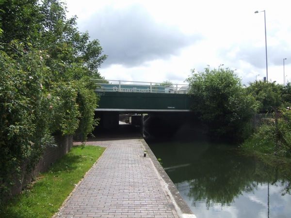
Galleries | A449 | Wolverhampton | Gorsebrook Bridge | ||
File history
Click on a date/time to view the file as it appeared at that time.
| Date/Time | Thumbnail | Dimensions | User | Comment | |
|---|---|---|---|---|---|
| current | 11:12, 28 March 2020 | | 600 × 450 (226 KB) | Steven (talk | contribs) | '''Gorsebrook Bridge''' Bridge carrying the A449 Stafford Road over the Birmingham Main Line Canal. |
File usage
The following 3 pages use this file: