File:Graffiti, Obridge viaduct - Geograph - 1025531.jpg
Jump to navigation
Jump to search

No higher resolution available.
Graffiti,_Obridge_viaduct_-_Geograph_-_1025531.jpg (640 × 480 pixels, file size: 77 KB, MIME type: image/jpeg)
| |||||||||||||||||||||||||
|
Galleries | A358 | Obridge Viaduct | Taunton | ||
File history
Click on a date/time to view the file as it appeared at that time.
| Date/Time | Thumbnail | Dimensions | User | Comment | |
|---|---|---|---|---|---|
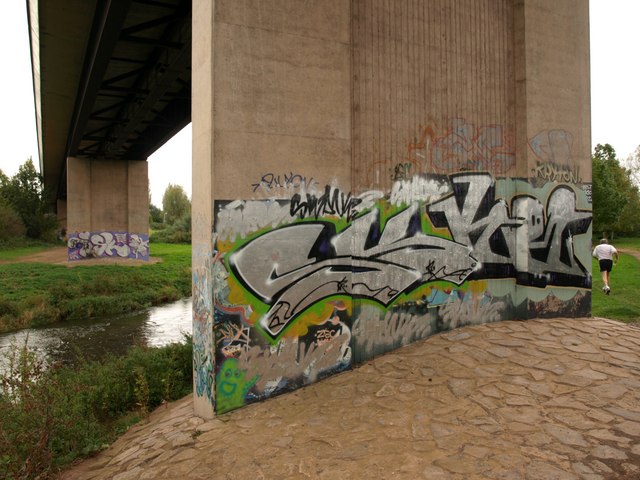
| current | 15:41, 12 August 2016 | | 640 × 480 (77 KB) | Rileyrob (talk | contribs) | '''Graffiti, Obridge viaduct''' The viaduct takes the A358 across the Bridgwater and Taunton Canal, the main line railway, and here, the River Tone. A jogger makes off southwestwards. |
File usage
The following page uses this file: