File:Grange Road, near Ickleton - Geograph - 3584346.jpg
Jump to navigation
Jump to search

No higher resolution available.
Grange_Road,_near_Ickleton_-_Geograph_-_3584346.jpg (640 × 360 pixels, file size: 69 KB, MIME type: image/jpeg)
| |||||||||||||||||||||||||
|
Galleries | C253 (Cambridgeshire) | Cambridgeshire | ||
File history
Click on a date/time to view the file as it appeared at that time.
| Date/Time | Thumbnail | Dimensions | User | Comment | |
|---|---|---|---|---|---|
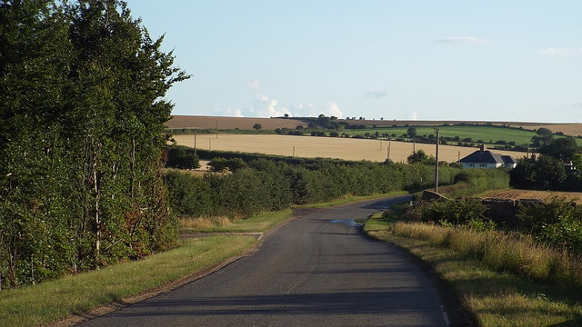
| current | 09:04, 4 February 2018 | | 640 × 360 (69 KB) | C2r (talk | contribs) | '''Grange Road, near Ickleton''' Long shadows are a clue that this image was taken quite late in the day. |
File usage
The following 2 pages use this file: