File:Grange Road - Geograph - 760164.jpg
Jump to navigation
Jump to search

No higher resolution available.
Grange_Road_-_Geograph_-_760164.jpg (640 × 480 pixels, file size: 70 KB, MIME type: image/jpeg)
| |||||||||||||||||||||||||
|
Galleries | R851 | ||
File history
Click on a date/time to view the file as it appeared at that time.
| Date/Time | Thumbnail | Dimensions | User | Comment | |
|---|---|---|---|---|---|
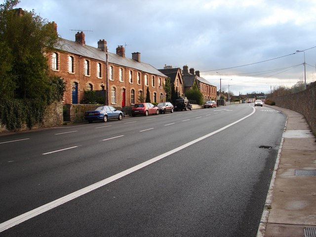
| current | 21:29, 16 August 2014 | | 640 × 480 (70 KB) | Viator (talk | contribs) | Terraced houses in Grange Road (R851) near its junction with Donnybrook Hill Road |
File usage
The following page uses this file: