File:Greenock Road - Geograph - 5383599.jpg
Jump to navigation
Jump to search

No higher resolution available.
Greenock_Road_-_Geograph_-_5383599.jpg (640 × 480 pixels, file size: 136 KB, MIME type: image/jpeg)
| |||||||||||||||||||||||||
|
Galleries | A726 | ||
File history
Click on a date/time to view the file as it appeared at that time.
| Date/Time | Thumbnail | Dimensions | User | Comment | |
|---|---|---|---|---|---|
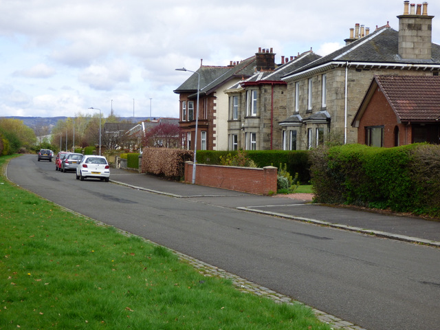
| current | 18:41, 7 April 2021 | | 640 × 480 (136 KB) | Tam nugent (talk | contribs) | The residential part of Greenock Road, overlooking St James Park. This part of the road used to be the A726, but was truncated by the construction of the M8 motorway in 1966. |
File usage
There are no pages that use this file.