File:Greenodd village from the A590 (C) Peter Turner - Geograph - 3368935.jpg
Jump to navigation
Jump to search

No higher resolution available.
Greenodd_village_from_the_A590_(C)_Peter_Turner_-_Geograph_-_3368935.jpg (640 × 427 pixels, file size: 67 KB, MIME type: image/jpeg)
| |||||||||||||||||||||||||
|
Galleries | A590 | unclassified | ||
File history
Click on a date/time to view the file as it appeared at that time.
| Date/Time | Thumbnail | Dimensions | User | Comment | |
|---|---|---|---|---|---|
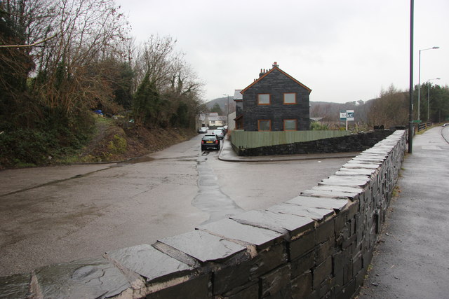
| current | 17:51, 2 March 2014 | | 640 × 427 (67 KB) | Vlad (talk | contribs) | '''Greenodd village from the A590 (C) Peter Turner '''<br/>The new dual carriageway has no connection into this village street. |
File usage
The following page uses this file:
_Peter_Turner_-_Geograph_-_3368935.jpg&oldid=365791)