File:Greyfriars, Gravelye Lane, Lindfield - Geograph - 4618995.jpg
Jump to navigation
Jump to search

No higher resolution available.
Greyfriars,_Gravelye_Lane,_Lindfield_-_Geograph_-_4618995.jpg (640 × 480 pixels, file size: 68 KB, MIME type: image/jpeg)
| |||||||||||||||||||||||||
|
Galleries | B2111 | ||
File history
Click on a date/time to view the file as it appeared at that time.
| Date/Time | Thumbnail | Dimensions | User | Comment | |
|---|---|---|---|---|---|
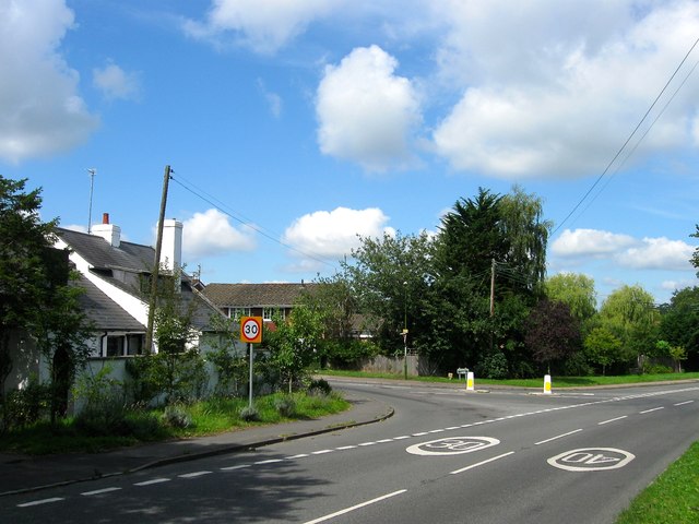
| current | 17:39, 1 March 2019 | | 640 × 480 (68 KB) | Jervi (talk | contribs) | '''Greyfriars, Gravelye Lane, Lindfield''' The first building reached when heading into Lindfield from the east on the junction of Lewes Road and Gravelye lane which dates from 1830 and is a former tollhouse. By the 1875 OS map it was known as Spire Co... |
File usage
The following 2 pages use this file: