File:Gwril bridge and junction with Station Road - Geograph - 313861.jpg
Jump to navigation
Jump to search

No higher resolution available.
Gwril_bridge_and_junction_with_Station_Road_-_Geograph_-_313861.jpg (640 × 480 pixels, file size: 76 KB, MIME type: image/jpeg)
| |||||||||||||||||||||||||
|
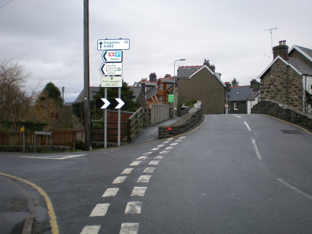
Galleries | A493 | Ffordd Arfordirol | ||
File history
Click on a date/time to view the file as it appeared at that time.
| Date/Time | Thumbnail | Dimensions | User | Comment | |
|---|---|---|---|---|---|
| current | 13:49, 26 March 2010 | | 640 × 480 (76 KB) | Jeni (talk | contribs) | Gwril bridge and junction with Station Road |
File usage
There are no pages that use this file.