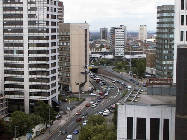
File:Hagley Road & Five Ways Island - Geograph - 408313.jpg
Jump to navigation
Jump to search

No higher resolution available.
Hagley_Road_&_Five_Ways_Island_-_Geograph_-_408313.jpg (640 × 480 pixels, file size: 100 KB, MIME type: image/jpeg)
| |||||||||||||||||||||||||
|
Galleries | A456 | Birmingham | Butterfly Signs | GSJ | ||
File history
Click on a date/time to view the file as it appeared at that time.
| Date/Time | Thumbnail | Dimensions | User | Comment | |
|---|---|---|---|---|---|
| current | 22:15, 14 December 2009 | | 640 × 480 (100 KB) | Jeni (talk | contribs) | {{Information |description = Hagley Road & Five Ways Island |day = 06 |month = 04 |year = 1999 |photographer = © Copyright [http://www.geograph.org.uk/profile/13750 Chris Ward] and licensed for reuse under [http://creativecommons |
File usage
The following page uses this file: