File:Hamworthy, railway bridges - Geograph - 1747995.jpg
Jump to navigation
Jump to search

No higher resolution available.
Hamworthy,_railway_bridges_-_Geograph_-_1747995.jpg (640 × 480 pixels, file size: 76 KB, MIME type: image/jpeg)
| |||||||||||||||||||||||||
|
Galleries | B3068 | ||
File history
Click on a date/time to view the file as it appeared at that time.
| Date/Time | Thumbnail | Dimensions | User | Comment | |
|---|---|---|---|---|---|
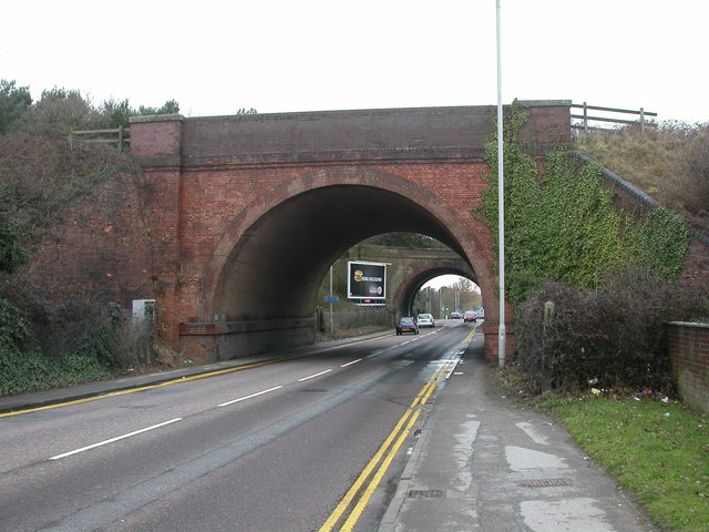
| current | 14:54, 14 March 2010 | | 640 × 480 (76 KB) | Jeni (talk | contribs) | '''Hamworthy, railway bridges'''<br/>Crossing Blandford Road; in the foreground, the Poole to Weymouth line, behind it, the dismantled Poole to Dorchester & Ringwood line; between them, the start of <a href="http://www.geograph.org.uk/photo/1729353">SY989 |
File usage
The following page uses this file: