File:Handcross Junction 3 Lanes.jpg
Jump to navigation
Jump to search

No higher resolution available.
Handcross_Junction_3_Lanes.jpg (640 × 480 pixels, file size: 75 KB, MIME type: image/jpeg)
| |||||||||||||||||||||||||
|
Galleries | A23 | ||
File history
Click on a date/time to view the file as it appeared at that time.
| Date/Time | Thumbnail | Dimensions | User | Comment | |
|---|---|---|---|---|---|
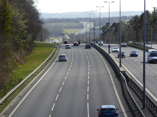
| current | 20:08, 22 January 2019 | | 640 × 480 (75 KB) | Jervi (talk | contribs) | '''A23 at Handcross with a view to the Downs''' The skyline is about twelve miles away. There is a big difference between this picture and http://www.geograph.org.uk/photo/2667268 from 1981. |
File usage
The following 5 pages use this file: